

- Joined
- Nov 2, 2025
- Messages
- 282
- Reaction score
- 0
- Points
- 16
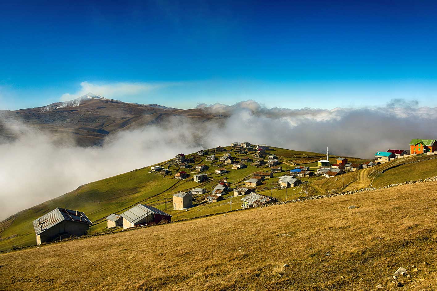
Sultan Murat Plateau and its pastures.
Sultan Murat and Demirkapı reveal two sides of Çaykara’s uplands: open plateaux and grazing land on one hand, and a valley and villages connected with the Haldizen Mountains on the other. Both belong to a mountain environment, but each has its own terrain, rural settlement and historical connections. Their character extends beyond a single connecting route or familiar image of fog.
 Sultan Murat Plateau
Wide pastures and open views of slopes and mountains distinguish the plateau from the enclosed forests of lower valleys. Seasonal settlements and houses linked to summer life and grazing explain the scattered small communities within these open spaces. The scenery results from interaction between nature and people and remains closely connected to its inhabitants.
 The Name and Historical Memory
The name Sultan Murat is associated with the memory of Sultan Murad IV passing through the area. The plateau also contains memorial sites connected with its military history. These give the pastures and views a cultural dimension. Local stories should be distinguished from documented history, and the plateau’s wider rural environment from the specific memorial sites within it.
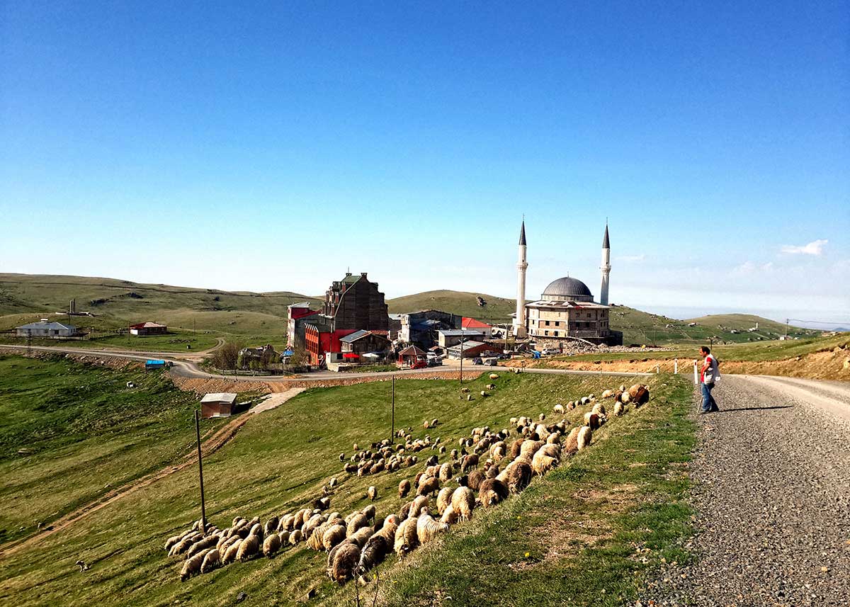
Another view of Sultan Murat Plateau.
 Demirkapı and the Haldizen Valley
Demirkapı lies in the upper Haldizen Valley above Uzungöl, where village life is closely tied to mountains, water and grazing land. Trees and buildings become less dense as the route climbs, with rocks and open uplands more prominent than near the lake. The village is a lived-in place: its homes and facilities are part of rural culture as well as the visitor’s view.
 Lakes and the High-Mountain Environment
The Haldizen Mountains contain lakes associated with glacial formation, including the locally known Balıklı and Aygır lakes. They differ from naturally dammed Uzungöl and from the pastures near villages. This variety reveals the many forms of Trabzon’s uplands: valleys, forests, plateaux, summits and lake basins.
 Practical Notes
Visiting the plateau or village does not guarantee easy access to every high lake; routes differ in effort and conditions. Check weather and roads and keep memorial sites and pastures clean. Families can enjoy accessible areas without continuing into higher terrain unless they have suitable local knowledge and preparation.
 Related topics
- Old Trabzon 2026: Bazaars, City Walls and the Kostaki Museum
- Trabzon Heritage 2026: Hagia Sophia and Atatürk Mansion
- Sümela and Altındere 2026: Monastery History, Architecture and Forests
- Uzungöl and Çaykara 2026: Lake, Valley, Villages and Forests
- Hamsiköy and Zigana 2026: Mountain Villages, Pastures and Heritage
- Akçaabat, Lake Sera and Hıdırnebi 2026: Coastal Heritage and Highlands
- Trabzon 2026: Regional Identity, Villages and Local Culture
- İkizdere and Anzer 2026: Valleys, Villages, Pastures and Honey Heritage
- Fındıklı and Pazar 2026: Coast, Historic Houses and Tea Villages
Last edited by a moderator: