

- Joined
- Nov 2, 2025
- Messages
- 282
- Reaction score
- 0
- Points
- 16
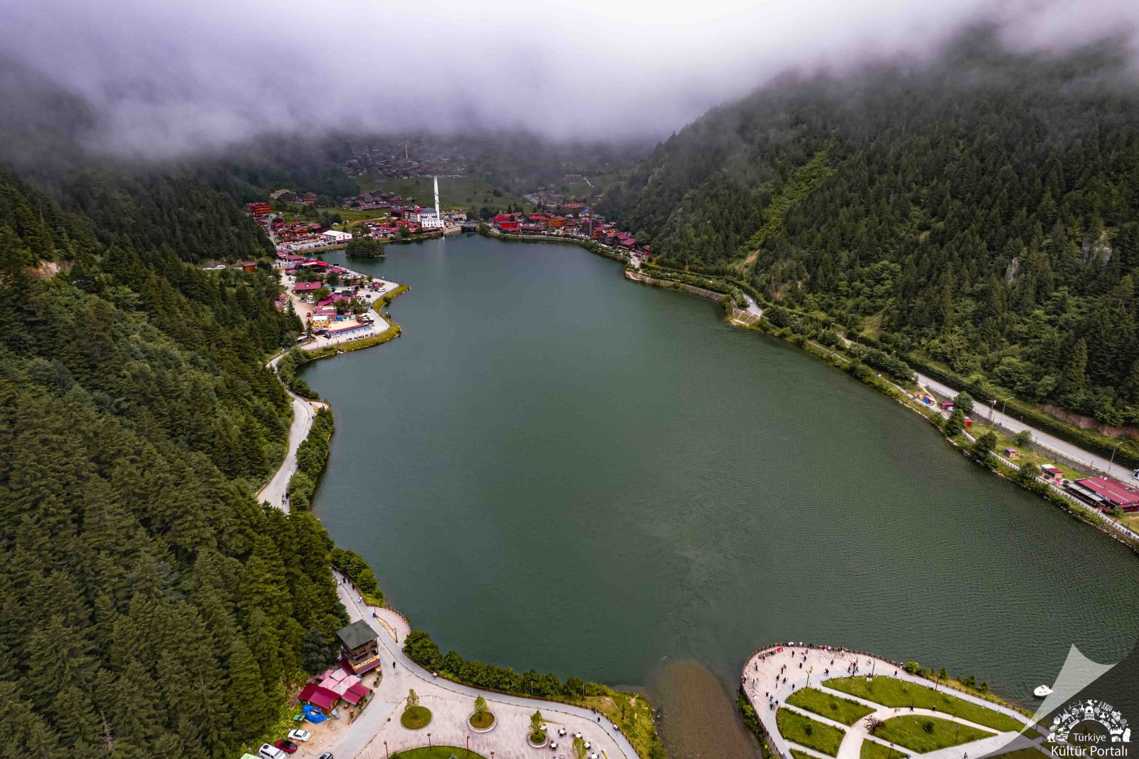
Uzungöl lake and the village extending between the slopes.
Uzungöl is a lake and settlement in Çaykara district, east of Trabzon. Water, steep slopes, forests and houses define its setting along the Haldizen Valley. Its tourism reputation is recent compared with residents’ long relationship with the valley and uplands. The area is therefore best understood as a connected natural and built environment, extending beyond the lake and its accommodation.
 How Did the Lake Form?
Uzungöl formed when rock and other material descending from the slopes blocked the Haldizen Stream, allowing water to collect behind a natural barrier. It is a landslide-dammed lake rather than a volcanic crater lake. The narrow valley and surrounding mountains help explain its elongated shape and connection with water flowing down from the uplands.
 Forests and the Mountain Environment
Forests cover the surrounding slopes, with the scene changing according to altitude, moisture and fog. Beyond the built-up area are wildlife habitats and varied mountain plants, while higher elevations contain pastures and mountain lakes. This environment is much wider than the familiar view of lake and mosque: the settlement represents only part of the valley’s natural character.
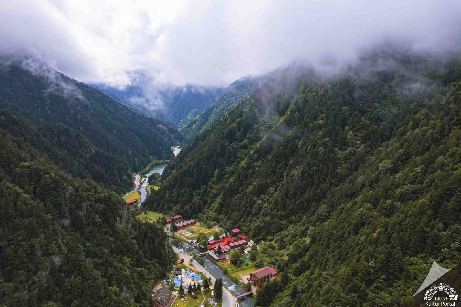
Uzungöl among forests and uplands.
 The Village and Local Architecture
The historic village, also known as Şerah, was associated with timber houses and rural life on the slopes. Timber and stone still express the area’s building heritage, although much of the built environment has changed with tourism growth. Comparing older houses with recent construction reveals changes in the village’s functions and its relationship with water and land.
 Çaykara and the Upper Haldizen Valley
Çaykara is a district of valleys, villages and uplands. Uzungöl is its most famous landmark, but others include Demirkapı, Şekersu, Yaylaönü and further grazing areas, with different vegetation zones and settlement patterns. Valleys link villages towards the coast, while higher elevations reveal mountain terrain and lakes with origins different from Uzungöl’s.
 Practical Notes
Fog and rain are natural parts of the setting; photographers may prefer periods of clear visibility. Protect water edges and paths and leave no rubbish in the forest. Visiting the village demands a different level of effort from reaching higher lakes, so check road and weather conditions before exploring further into the uplands.
 Related topics
 - Old Trabzon 2026: Bazaars, City Walls and the Kostaki Museum
- Trabzon Heritage 2026: Hagia Sophia and Atatürk Mansion
- Sümela and Altındere 2026: Monastery History, Architecture and Forests
- Hamsiköy and Zigana 2026: Mountain Villages, Pastures and Heritage
- Akçaabat, Lake Sera and Hıdırnebi 2026: Coastal Heritage and Highlands
- Sultan Murat and Demirkapı 2026: Pastures, Villages and Mountain Lakes
- Trabzon 2026: Regional Identity, Villages and Local Culture
- Ayder 2026: Pastures, Forests, Waterfalls and Thermal Springs
- Pokut and Sal 2026: Pastures, Wooden Houses and Highland Landscapes
Last edited by a moderator: